The Village of Chester is accepting sealed bids on the following surplus vehicle:
1998 Ford Cutaway Van E450 Super Duty BLS Ambulance, recently taken out of service.
Engine: 7.3 L Power Stroke
Mileage: 72,603
Sold as-is, with no warranty expressed or implied.
Bid Submission:
Sealed bids must be submitted in a sealed envelope clearly marked “Ambulance Bid” and dropped off or mailed to:
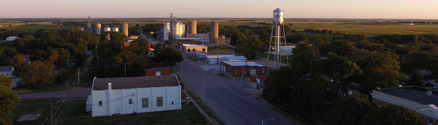
Village of Chester
621 Thayer Ave.
PO Box 335
Chester, NE 68327
Please include your name, address, phone number, and the amount you are bidding.
Bid Deadline:
Sealed bids must be received no later than February 11th, 2026 at 4:00 pm.
Sealed bids will be opened publicly at the Village of Chester Board of Trustees meeting on February 11th, 2026.
Right to Reject:
The Village of Chester reserves the right to reject any and all bids.
Payment Terms:
Payment shall be made in full by cash or cashier’s check at the time of property transfer. The title will be transferred upon receipt of full payment.
For additional information, or to schedule an appointment to see the ambulance in person, PM me or call the Village of Chester at (402) 324-5755.
Date of posting: January 22nd, 2026.
Village of Chester
Village Clerk, Dakota Cherney